EXCLUSIVE: NGA awards new Luno A task order for commercial imagery analysis
NGA Director Vice Adm. Frank Whitworth confirmed that the agency and the Space Force are working on a memorandum of agreement that will set “procedures” to ensure that they don’t duplicate commercial imagery products.
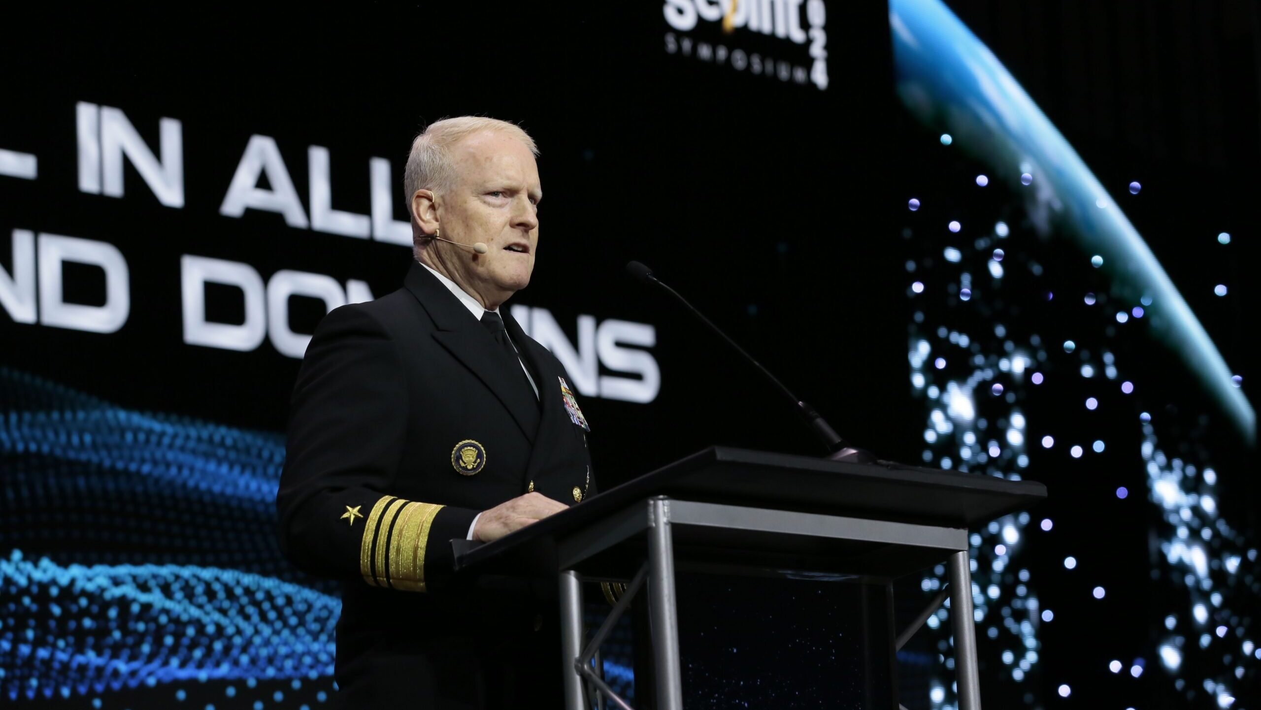
National Geospatial-Intelligence Agency head Vice Admiral Frank Whitworth speaks at the 2024 GEOINT conference. (Courtesy GEOINT)
SPACE SYMPOSIUM 2025 — The National Geospatial-Intelligence Agency (NGA) has awarded the second task order under its $290 million Luno A program to gather commercial analysis of satellite imagery, with six more on the way, NGA Director Vice Adm. Frank Whitworth told Breaking Defense Tuesday.
“Luno A Task Order 2 was awarded to a small business by the name of Electromagnetic Systems Incorporated, EMSI, … that’s on feature identification,” he said in a wide-ranging interview during the Space Foundation’s annual Space Symposium. That award was made “a couple weeks ago,” he added.
Maxar Technologies was tapped in December under the first task order for “facility monitoring,” which involves detecting changes at target sites to document significant changes, Whitworth said.
Features identification usually refers to detailed terrain maps of areas such as coast lines to show things like sea-bed level.
“There are six more task orders expected to be awarded in the next few months. So this is moving time,” Whitworth said.
The agency expects to get the first results from the task orders in the summer.
While he wouldn’t reveal the exact values of the task orders, Whitworth stressed that NGA is putting its money where its mouth is with regard to acquiring commercial remote sensing products.
“I think if anybody ever doubts whether we’re serious about commercial analytics, they should look no farther than Luno A and B, and the $500 million ceiling,” he said. “That’s pretty significant. That’s a good chunk of change,” he said.
NGA last September chose 10 commercial space and data crunching companies to provide unclassified computer vision and artificial intelligence-based analytic services under the Luno A indefinite quantity/indefinite delivery contract vehicle.
In January, NGA initiated the Luno B effort, choosing 13 vendors to compete for a funding pool worth $200 million. The program has an emphasis on commercial uses of artificial intelligence in creating analytical products.
Whitworth explained that “anomaly detection” is at the heart of intelligence gathering, and is the foundation for NGA’s ability to provide both warnings of potential threats and to provide imagery products, such as maps, to warfighters for targeting purposes. But it is especially important for warning, he stressed.
“For warning, really, I would say you need that baseline. You need that alert that something has changed, something is anomalous, and something might be disconcerting or problematic. And, so that’s what we do. We store that stuff and we and then, of course, we publish. We put it into a usable format for those COCOMs [combatant commands] and for those warfighters,” he said.
Further, Whitworth confirmed that NGA is in negotiations with the Space Force over acquisition of commercial imagery and the agency’s relationship with the service’s Tactical Surveillance, Reconnaissance and Tracking or TacSRT, program.
“We’ve come a long way in the last year to write down these things. And we’re on the cusp of a memorandum of agreement between us, Space Force and NGA on the TacSRT. And at the core of all this are two things. First of all, this concept of integration and unity, And then secondly is stewardship,” he said.
Whitworth explained that as the functional manager for geospatial intelligence (GEOINT), he leads the National System for GEOINT, a “consortium of everyone who uses and contributes to GEOINT” that works via standards for “collection, tasking, and for exploitation, and ultimately, dissemination and processing” of data. And that incoming data has to be integrated to provide users a full picture, including of potential threats.
The primary space-based input to the GEOINT system in the past has been National Technical Means — the nation’s spy satellites largely owned and operated by the National Reconnaissance Office, he said. But now, the Space Force is moving toward a proliferated architecture that includes putting more reliance on commercial capabilities, including for remote sensing. And that information has to be accounted for and folded in.
“I have a responsibility to ensure I get it all,” Whitworth said.
NGA’s stewardship job is to ensure GEOINT collection for the National System happens in a cost efficient manner, he explained.
“TacSRT will be part of that process to ensure that if somebody intends to buy something, we are already checking … to make sure we’re not paying twice,” Whitworth said.
“And that’s the sort of thing that this memorandum of agreement will codify, the procedures for that,” he added.
Whitworth said that one of the reasons he and Space Force vice chief Gen. Michael Guetlein appeared here in a joint fireside chat was to highlight that the two sides are engaged in “a true partnership” on space-based intelligence, surveillance and reconnaissance.
“NGA relies on the domain of space, which is a warfighting domain. … but I would submit that the warfighting domain of space relies on NGA as well,” he summed up.


